Schoodic to Tunk Trail Management Plan
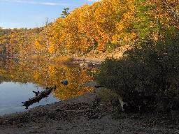
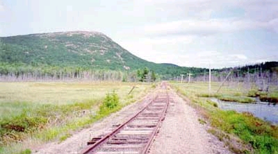
A coalition of state and local organizations is working to enhance and expand the current network of hiking trails in the backwoods area that includes parts of Franklin, Cherryfield, Township 9 and Township 10. Special features of this region include Schoodic Mountain, Black Mountain, Tunk Mountain, Donnell Pond, Tunk Lake and Spring River Lake. More than 24,000 acres have been protected through Maine Public Reserve Lands and area land trusts. Improving the hiking and paddling trail network will promote healthy, outdoor recreation and provide a new, sustainable resource for local economic development.
Photographs

Plans
Funding Propsoals
2009
2008
Maps and Trips (Select to enlarge)
Hikes |
Paddles |
 |
 |
 |
 |
Data
Links
For more information, please contact:
Jim Fisher, Senior Planner
Hancock County Planning Commission
395 State Street
Ellsworth, ME 04605
(207) 667-7131 / (207) 667-2099 (fax)
jfisher@hcpcme.org